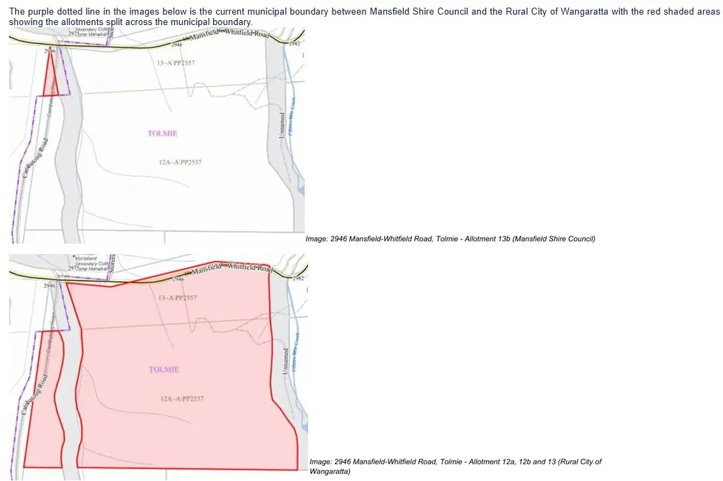
The Rural City of Wangaratta is set to grow ever so slightly following a realignment of the municipal boundary near 2946 Mansfield-Whitfield Road at Tolmie.

The majority of the 39-hectare property is in the Rural City of Wangaratta, with a small sliver of 0.3 hectares in the Mansfield Shire.

Council last backed the change after the property owners contacted Local Government Victoria (LGV) and requested the boundary be realigned so their property became exclusively within the Rural City of Wangaratta.

The landholders raised this matter with the aim of reducing the burden of dealing with two separate councils on matters such as future planning and possible complications with the State Revenue Office.

The process began in late October 2025 with the landholders writing to the LGV office to flag the issue.

From there, both councils were consulted, a risk assessment was completed with social, financial and legal implications being considered before the decision was made.

Council director of corporate services Sarah Brindley introduced the matter at the council meeting and described the report as “fairly administrative”.

Councillor Harry Bussell moved the motion for the change at the July council meeting praised his counterparts across the boundary.

“It is administrative, but I’d also like to acknowledge and thank the Mansfield Shire for leading the way, so thank you to them,” Cr Bussell said.

Mayor Irene Grant added, “sometimes these realignments can come with a whole lot of administrative nightmare, but this has been pretty straightforward, so thank you to Mansfield [Shire] for making things easy for the ratepayers”.

The motion was seconded by Councillor Allison Winters and carried unanimously.

The matter will now be passed on to the LGV Minister’s office.