PHOTO
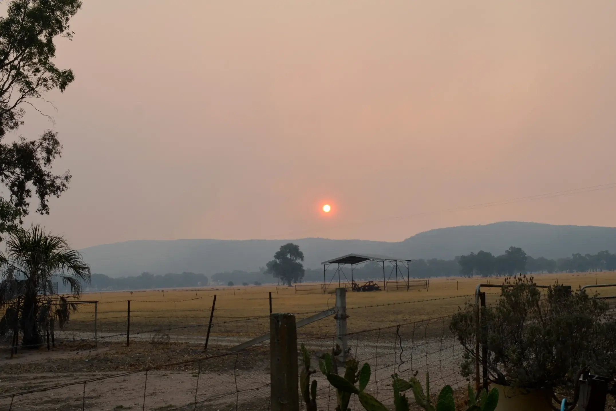
Wangaratta almost broke a temperature record last month when it reached 45.2 degrees Celsius on 28 January during a four-day heatwave, just 0.6C off the city’s highest temperature recorded.
According to the Bureau of Meteorology, the city underwent nine over 40C days in January.
The heat kicked off with three consecutive days of over 40C earlier in the month followed by four consecutive days later in the month, the latter of which recorded the highest maximum temperature for the month (45.2C).
To end off the month, another two 40C days were recorded on 30 and 31 January.
It was the first time Wangaratta experienced a 45C day since 31 January, 2020 (45.6C), and the first time we've experienced nine over 40C days in one month since January 2019.
January also skyrocketed when compared to the historical mean maximum temperature.
The mean maximum temperature recorded for January 2026 was 35.8C, 2.8C higher than last year’s average and 3.7C higher than the mean historical average.
Meanwhile, the mean minimum temperature recorded was 15.2C, 0.6C warmer than last year’s average and 0.8C warmer than the mean historical average.
And not much can be said about the rainfall - or lack thereof.
If you thought last year’s January was dry, this January, 8.2mm of rain was recorded, 15.8mm less than last January and a staggering 37.3mm less than the historical average.
The majority of this rain fell on 18 January (8mm), while 0.2mm fell on 9 January.
This is the driest January we’ve endured since 2013, where just 2.8mm of rain was recorded, and it seems surrounding towns and districts also experienced a similar dry spell.
Looking ahead, it appears heatwave and extreme heat conditions have passed, though that doesn't mean we're out of the woods yet.
There's an equal likelihood we'll experience rainfall above the median between 17 February and 2 March (10.2mm), but a chance of showers are forecast this Wednesday, 11 February.