PHOTO
Barometric pressures have continued to be well above the normal August means of 1018mbs in Melbourne for most of the past week despite two frontal passages.
As a consequence rainfalls are still well down on average over most of Victoria.
Rainfalls to date include 6.2mms at Wangaratta, 11.8mms at Benalla and 8mms at Rutherglen - which are all more than 50mms below the August average and the driest to date since 2014 or 1944.
Mean maximum temperatures at these three major towns were to date this month close to 16 degrees, which is about 1.5 degrees above normal whilst mean minimum temperatures were 0.5 degrees - the coldest since 2006.
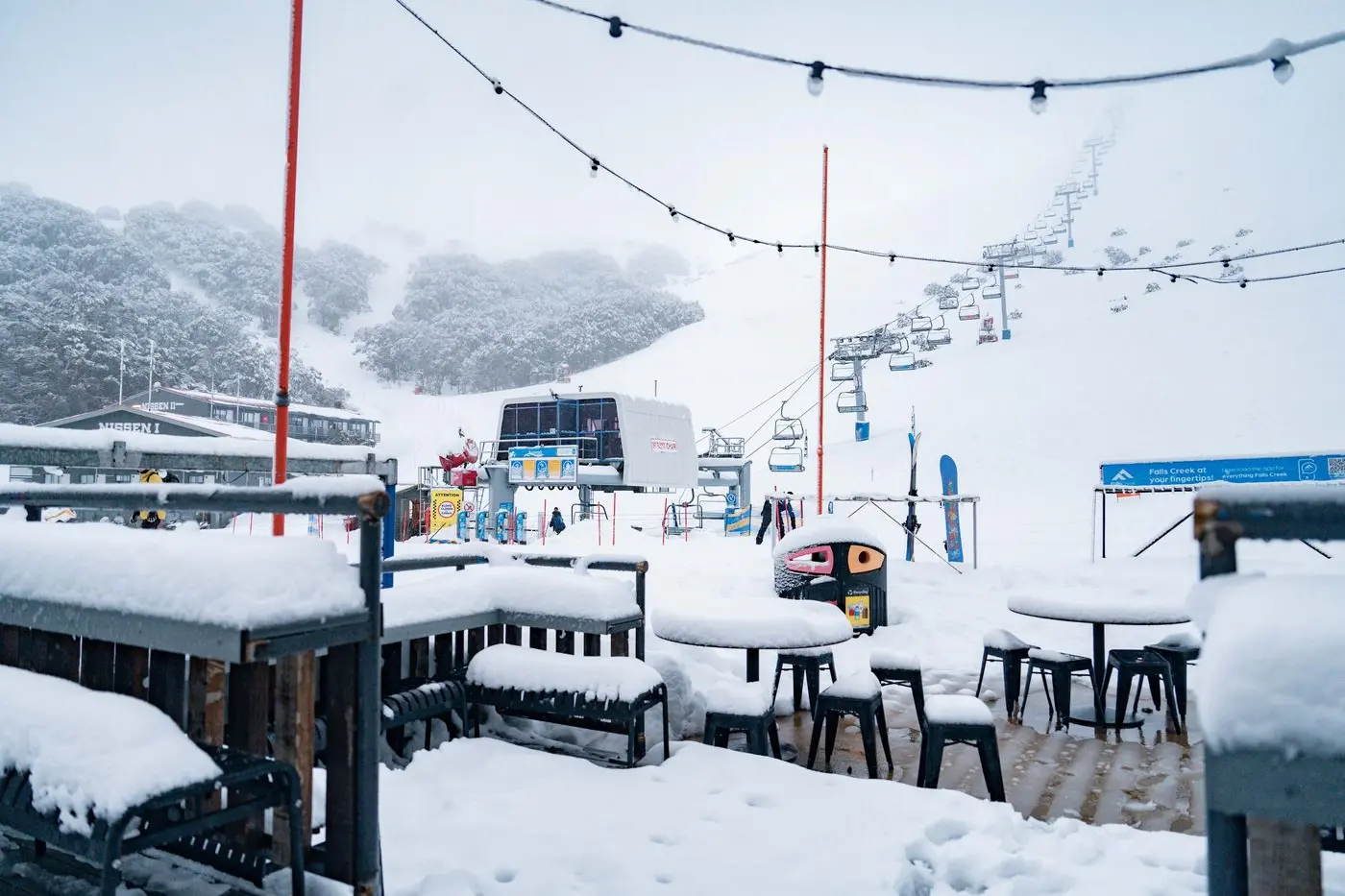
Despite alpine resorts having good snowfalls on 6 August, precipitation totals to date this month have been about half the August average, with the lowest temperatures falling to about minus 8 degrees.
In the snowfields at Thredbo the temperature fell to minus 13.2 degrees, which was the coldest for August since minus 13.5 degrees in 1987 after which we enjoyed warmer and drier conditions during September 1987 with the temperature reaching 28 degrees on 26 September.
Heavy rain fell during mid October and again the second week of November and at beginning of December 1987.
January 1988 was very hot with the highest temperature reaching 42 degrees during second week.
Both Sydney and Jervis Bay had more heavy rainfall last week as another cut-off low pressure near Adelaide moved away to northern NSW while a high pressure cell strengthened over Victoria.
The rainfalls to date in Sydney have reached 286mms and at Jervis Bay have reached 304mms which is the wettest for August since 1998.
Other very high August totals at both places were in 1952 and 1899.