PHOTO
The first week of August has been very dry not only in Victoria but across much of the nation.
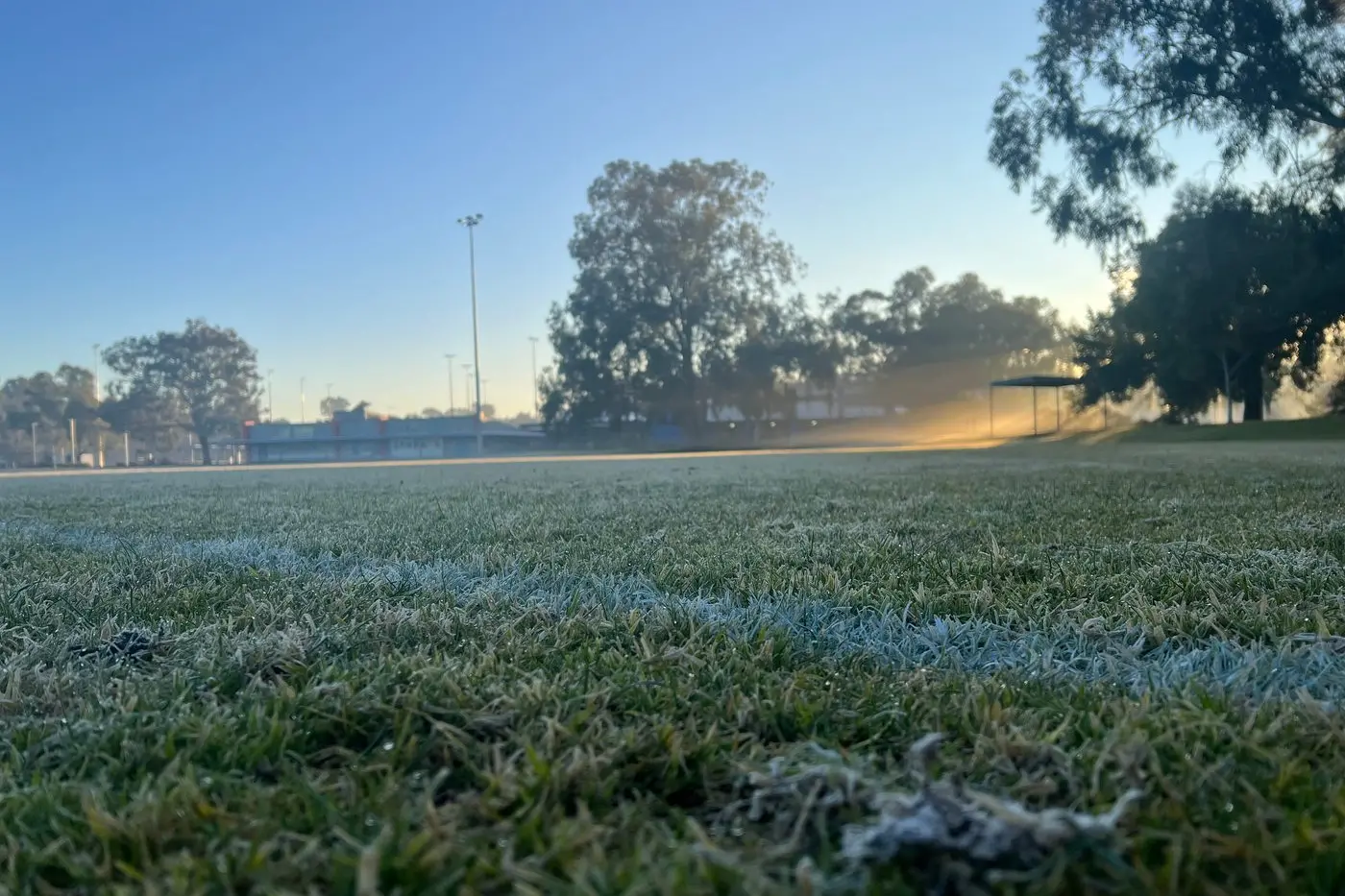
In the North East frosts have occurred nearly every day at the main towns and will continue to do so up the next week as a very slow-moving high pressure with central pressure of over 1033 mbs parks itself over Victoria before moving just east of Tasmania.
In Melbourne barometric pressures have reached 1033 mbs, the highest for early August since 1033.4 mbs in 2021.
Last month the mean MSL pressures for July was 1014.0 mbs, the lowest in July since 1011.3 mbs in 2021.
This may indicate that the rest of this year will follow that of 2021.
August 2021 was warmer and drier than usual, but on 3 September heavy rain of 43 mms fell in Wangaratta.
October 2021 was warmer and drier than usual and then heavy rain and thunderstorms occurred on Saturday, 13 November.
Maximum temperatures to date this month over most of Victoria have been 1.5 degrees above the August normal.
Minimum temperatures particularly in NE Victoria to date have been two degrees below normal.
The main exception to the dry star to the month occurred last weekend when a small cut-off low pressure moved over northern NSW and delivered
Gunnedah had 72mm and 48mm at Tamworth.
The 46 mms at Gunnedah last Saturday, 2 August made it the wettest August day since 1952.
This cut-off low then moved into the North Tasman sea and deepened into a bomb type low and produced heavy rainfalls up to over 100mm along the coast from Taree to Moruya Heads.