PHOTO
71899.0
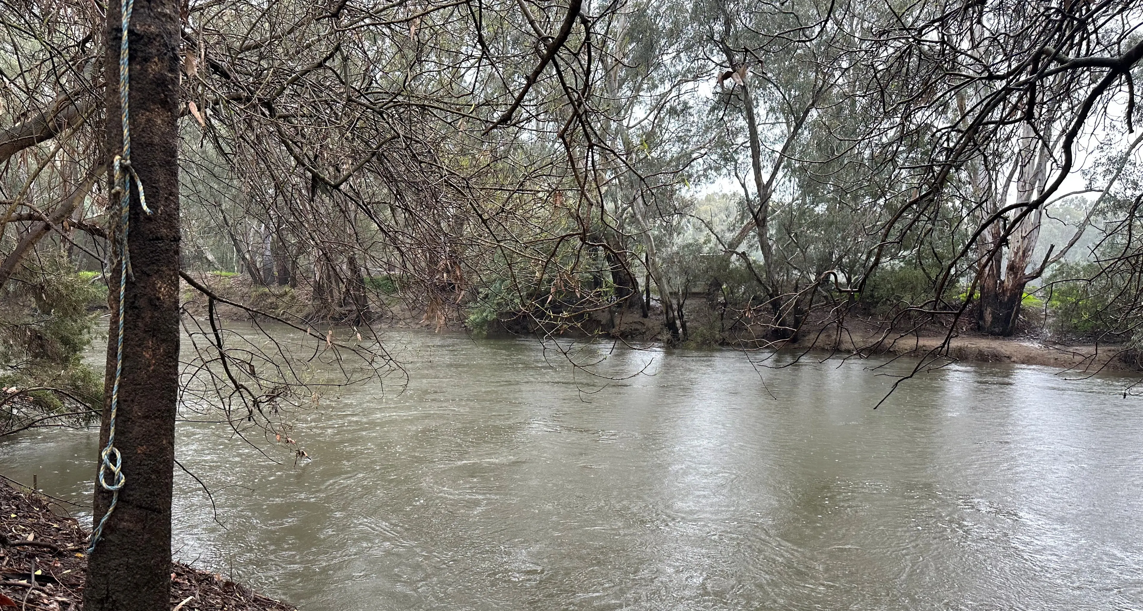
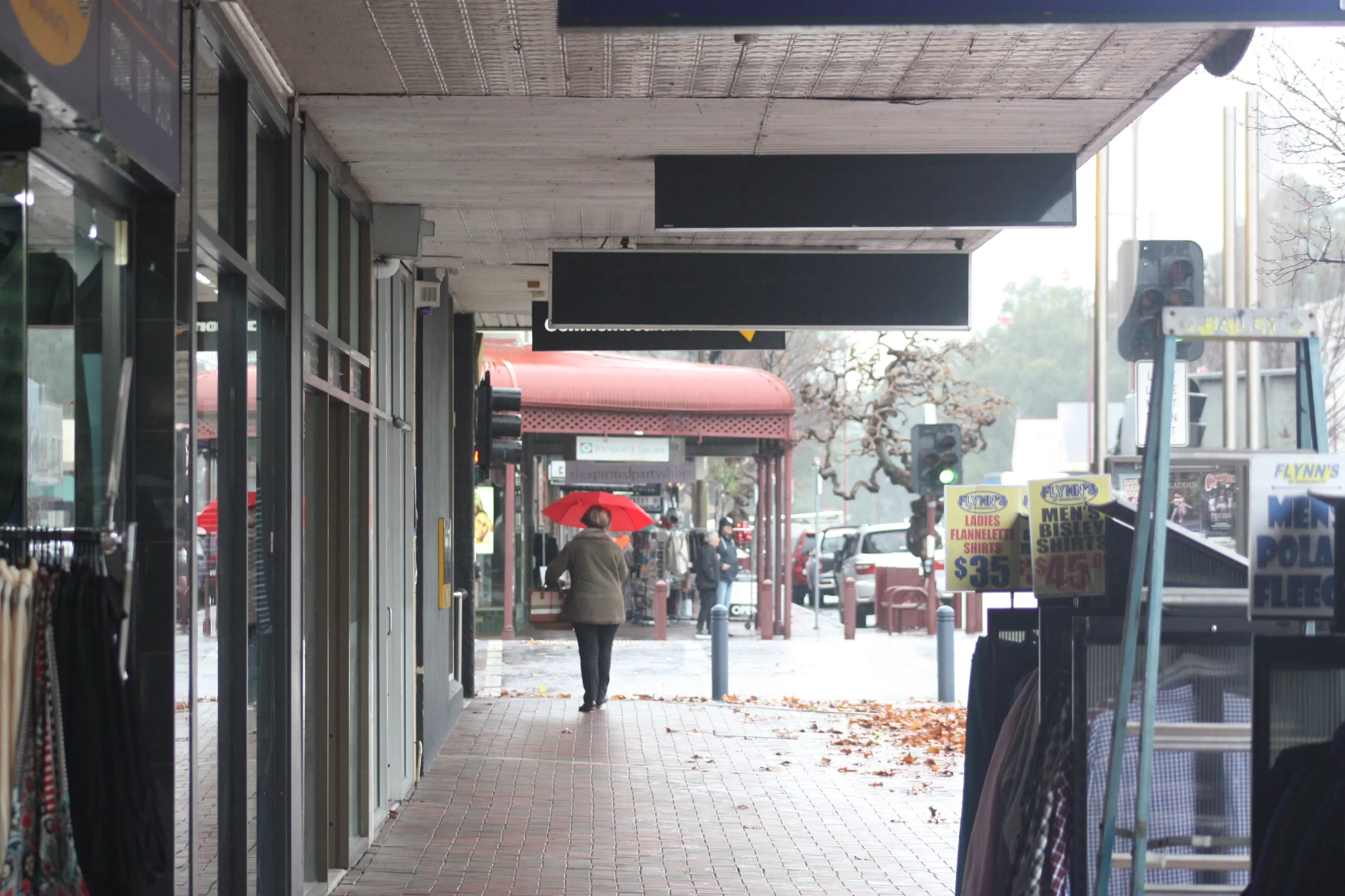
The rural city of Wangaratta experienced a very wet end to June which saw flood warnings, rivers rising and residents pull out their trusty brollies.
Total rainfall for the month recorded at the Bureau of Meteorology’s (BOM) Wangaratta Aerodrome weather station was 115mm, nearly double the historic mean of 65.3mm and the seventh wettest June the city has seen in the last 100 years.
This brought the total rainfall for the first half of the year up to 332.2mm, according to the BOM, this is significantly higher than the historic mean for the first six months of the year which is 286.4mm.
Two days of June recorded significant falls, contributing heavily to the monthly total, 35.2mm was recorded on Tuesday 2 June and 28.2mm was recorded on Tuesday 30 June.
Tuesday 2 June’s 35.2mm came in at the second most rainfall recorded in single day throughout 2026 to date, after 39.8mm was recorded on Tuesday 3 March.
The city’s mean maximum temperature was 15.3 degrees Celsius and the mean minimum temperature was 6.4 degrees Celsius, both significantly higher than their respective historic means of 13/9 degrees Celsius and 2.8 degrees Celsius.
The lowest mean minimum temperature of -0.3 degrees Celsius was recorded on Saturday 27 June
The highest mean maximum temperature was 19.8 degrees Celsius was recorded on Wednesday 17 June
The bureau’s long-range forecast from July to September shows rainfall is likely to be below average across much of southern and eastern Australia, daytime temperatures are likely to be above average south of the tropics, and overnight temperatures are likely to be above average for much of Australia.
The bureau’s long-range forecast is updated fortnightly and considers a range of models and influences such as El Niño–Southern Oscillation (ENSO).
While ENSO is currently neutral, all models indicate El Niño is likely to develop this winter.
El Niño typically influences rainfall over northern, central and eastern Australia from winter into early summer, roughly June to December, with this influence typically peaking during the spring months.
While historical experience of El Niño events can create an expectation that these events will be the same each time they occur, no two El Niño events are the same.